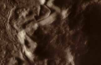
VILLA MARS |
Latitude 39.85° Longitude 320.82° |
 |
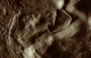 |
VILLA MARS |
Latitude 39.85° Longitude 320.82° |
|
|
 |
Date: 6/17/99 10:42:46 PM Pacific Daylight Time
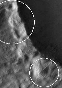
I saw the Villa on your website mentioned in the MTRAC list...did you look at the other pictures in that series? Here's the link to one of the sections... 46502i - full res (not raw) The attached picture is a cropped section of the mountain range. I've circled two sections with interesting features. I don't have the technical know how to process them further. The lower right circle encircle a triangular depression in the side of the crest. Within the 'opening' of the triangle is a squareish formation. Let me know if you think these are worth further processing. I'm very intrigued by the "villa". If we can locate the waterways, we should be able to find areas where artificial debris is piled up, assuming the flooding happened after the civilization. |
![]() ANOMALOUS IMAGES
ANOMALOUS IMAGES
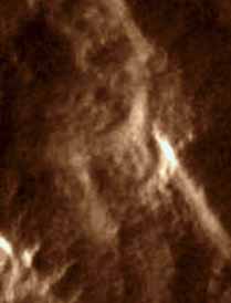
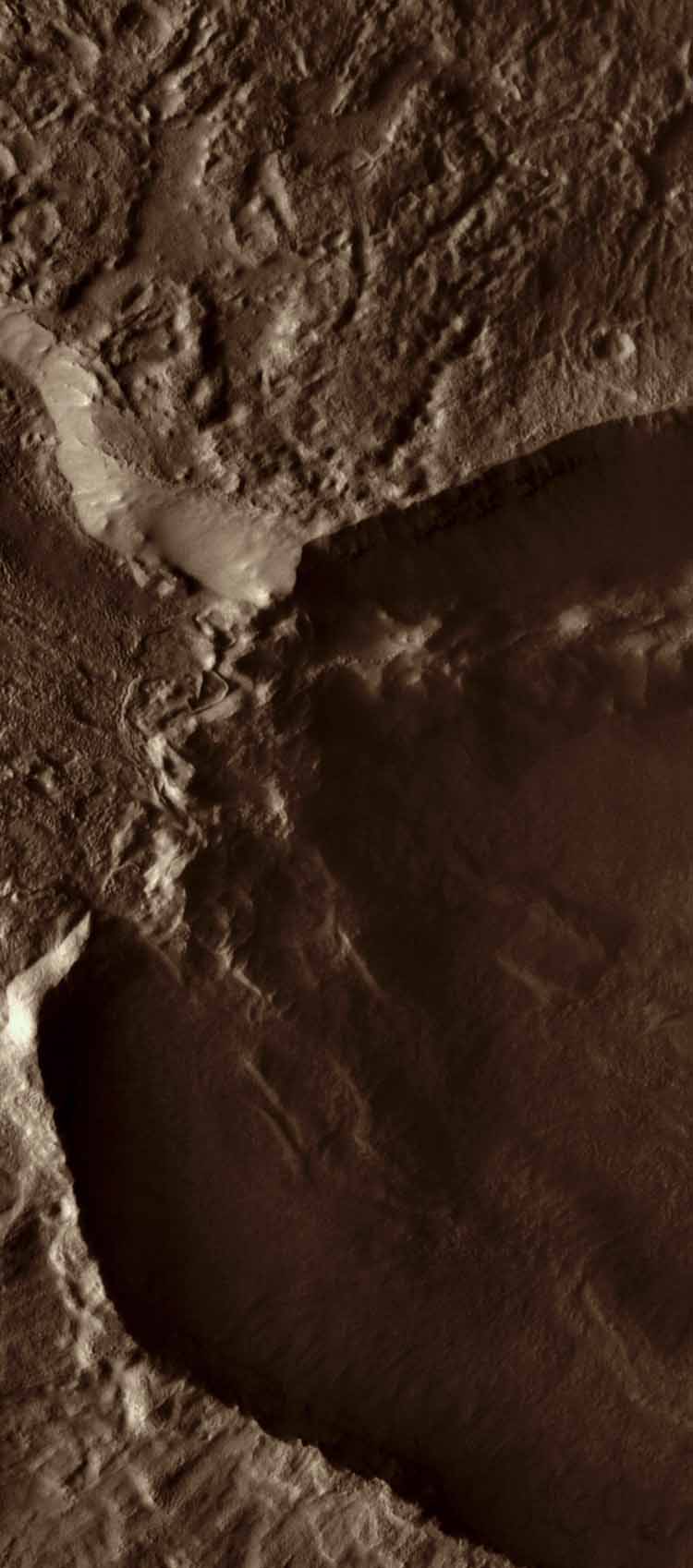
6/15/99 11:53:35 PM: This is an image processed from the raw MGS image using FFT to remove 'microphonic noise', destriping, and thanks to Holger Isenberg, the Adaptive Contrast Filter GIMP for Windows plugin, originally discovered by Kent Steadman and called "The Villa". From Orbit 465, #2: From: Anomalous Images
Here is another, 3d transformed view of the Goldmine / Villa area, with elevation data derived from a shape-from-shading program I wrote to extract a digital elevation model (DEM) from the raw high resolution MGS images. The dam, and steps leading down into the rightmost pool are very interesting.
Regards,
Detail |
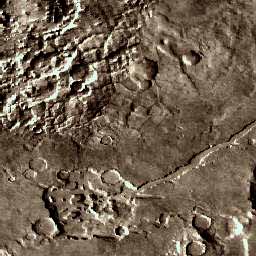
Viking Context Image |
|
|